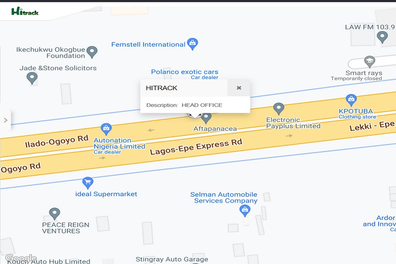
Live tracking functionality (Real-time Tracking)
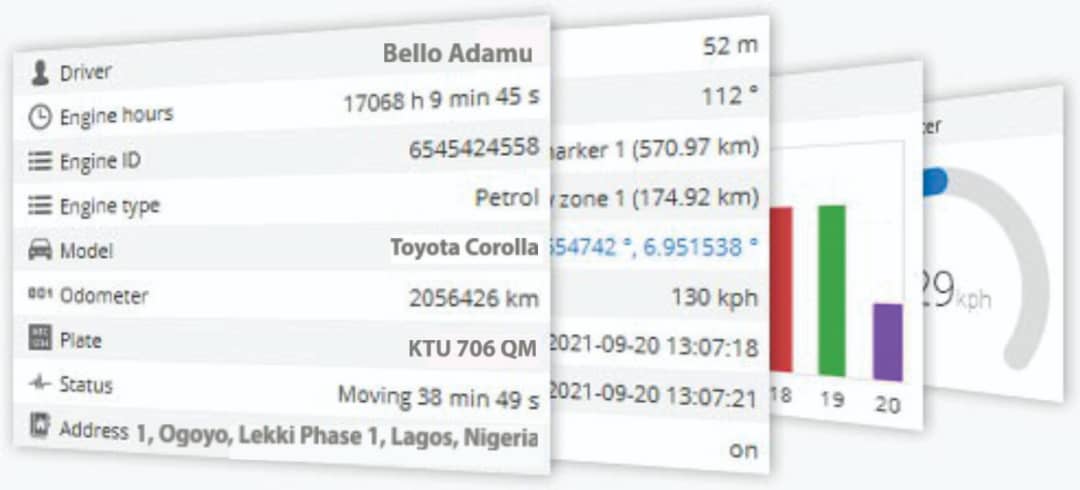
The live tracking feature provides real-time updates on the whereabouts of tracked objects. Data refreshes automatically every ten seconds, eliminating the need for manual page refresh or account re-login. The monitored information includes vehicle status, latitude, longitude, altitude, address, speed, connection duration, ignition status, fuel usage, sensor readings, nearest geozone, and a plethora of additional details.
Dasboard
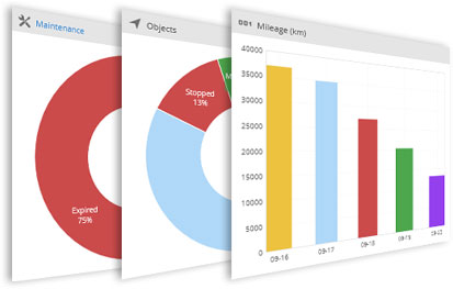
The dashboard serves as an information management tool designed to visually track, analyze, and present essential data from the tracking account. It provides an efficient means to monitor objects, events, maintenance schedules, tasks, and mileage, all conveniently located in a centralized platform.
History
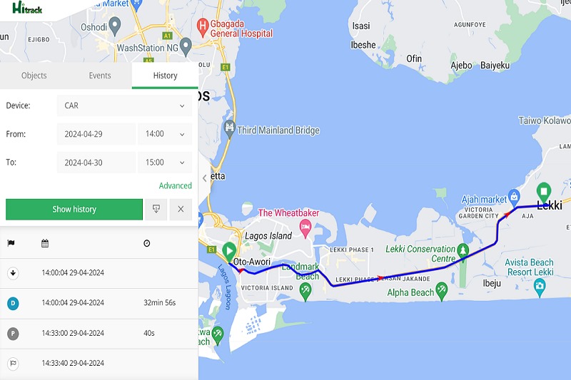
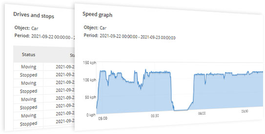
The history feature showcases all the information collected by the server from connected devices over a specified timeframe. This includes data transmitted by GPS tracking devices, such as speed, timestamps, locations, stops, reports, events, and more. The history is presented in different formats, including visual maps, graphs, and HTML/XLS files.
Geofencing
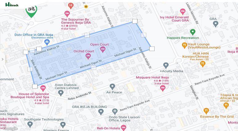
Geofencing enables the creation of virtual boundaries around geographic areas of interest. Its primary purpose is to monitor whether a unit remains within or exits the defined area, triggering notifications upon entry to or exit from the geofenced zone.
Widgets Overview
Widgets showcase the latest information about objects, updating every ten seconds without requiring a webpage refresh. They enable users to send commands to manage devices, access recent events, and view mileage graphs.
Sensor Functionality
Sensors enhance the functionality of GPS tracking systems by broadening their capabilities. They can retrieve data from the vehicle’s onboard computer through CAN or gather information from externally connected sensors. Users can monitor various vehicle metrics, including fuel level, RPM, temperature, voltage, iButton, RFID, and others. Additionally, sensors enable precise measurements through calibration tables and formulas.
Events
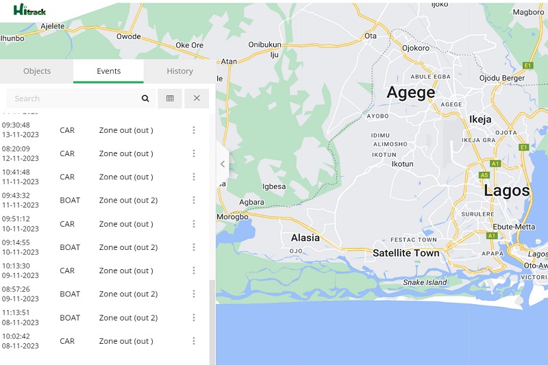
The events feature stands out as one of the most crucial functionalities our software offers. Events are utilized to trigger actions based on significant or disruptive activities. Customers receive instant SMS/email/push notifications triggered by different event types.
Route
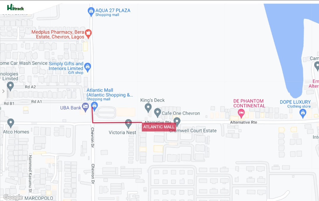
The Route function provides a useful tool for outlining significant sections of the road by drawing virtual paths on the map. Moreover, receive notifications if a vehicle strays from or remains within the designated route. This capability is valuable for analyzing the vehicle’s adherence to the specified roadway.
Reports
Access comprehensive reports on trips, mileage, driving habits, fuel consumption, and incidents, along with activity within specific zones or routes. These reports serve for in-depth data analysis of individual vehicles or entire fleets. Export or receive reports instantly via email in HTML, PDF, or XLS format.

Tasks
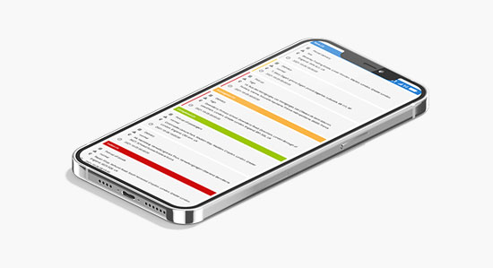
Easily create and manage entries for upcoming work with Tasks. Set start and end addresses, priority, and task status. Tasks can be conveniently managed through the Hitrack GPS mobile application.
POI (Points of Interest)
POI (Points of Interest) enable you to place markers at locations that may be noteworthy or valuable. You can assign a name to the location, provide a brief description, and attach an image or video if desired.
